Super User
This is my user desription. Lorem ipsum dolor sit amet, consetetur sadipscing elitr, sed diam nonumy eirmod tempor invidunt ut labore et dolore magna aliquyam erat, sed diam voluptua. At vero eos et accusam et justo duo dolores et ea rebum. Stet clita kasd gubergren, no sea takimata sanctus est Lorem ipsum dolor sit amet. Lorem ipsum dolor sit amet, consetetur sadipscing elitr, sed diam nonumy eirmod tempor invidunt ut labore et dolore magna aliquyam erat, sed diam voluptua. At vero eos et accusam et justo duo dolores et ea rebum. Stet clita kasd gubergren, no sea takimata sanctus est Lorem ipsum dolor sit amet.
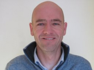
Mark Brussel
Researcher
Mark Brussel has a background in Civil Engineering (Delft University of Technology). He has over 25 years experience in the planning and engineering of urban infrastructure, with a focus on developing countries. In the last 20 years he has specialised in the application of Geographic Information Science in urban infrastructure systems. He has developed specific expertise on spatial analytical methods to deal with questions of equitable and sustainable infrastructure provision in urban areas. Such questions deal with issues of spatial variation, spatial interaction, network design and performance, resource allocation and asset management. In support of this work, he has developed expertise in GIS data models and analytical routines for planning and operation & maintenance of infrastructure networks. His current research interests are in spatial and social equity of infrastructure systems, spatial decision support in infrastructure planning, land use transport integration, risk in infrastructure systems and sustainable transport (public transport and cycling in particular).
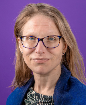
Kirsi Pauliina Kallio
Researcher
Kirsi Pauliina Kallio is professor of environmental pedagogy and education at Tampere University. Her research interests form around the human subject as a constantly developing political being with capacities to act, and relational political space that actualizes contextually in the form of communities and societies with various scalar dimensions. Her current interdisciplinary work focuses on refugeeness (as an experienced condition), humanitarian border (as a topological constellation), relational age (from the perspective of youthful political agency and intersubjective spatial socialization) and lived citizenship (in the city-regional scale and as environmental agency). Kirsi is also actively involved in development projects where the perspective of Positive Recognition, based on co-creative research, is put into practice and further developed in different professional contexts. She leads the Spatial Socialization and Environmental Citizenship Research Collective (SPECS) and is part of the Space and Political Agency Research Group (SPARG).
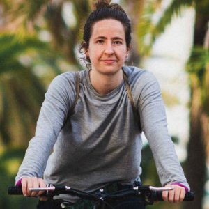
Gemma Simón i Mas
PhD student
Gemma Simón i Mas is a PhD student at the Institute for Environmental Science and Technology at the Autonomous University of Barcelona (ICTA-UAB), and a founding member of City Lab Barcelona. Her research is on urban cycling among children and youth and in particular their perceptions and experiences. As an urban cycling activist, she has led workshops and training events on cycling issues, and taken a leadership role as the Equity Coordinator for ConBici, a national cycling group in Spain. She has worked as a cycling instructor with the method 1Bici+ developed by Factoría de Ciclistas and has worked at the cycling cooperative Biciclot sccl (2018-2021). She has also worked with the Urban Ecology Agency of the City of Barcelona on the implementation of the Superblocks (Superilles) program. Her undergraduate degree is in Environmental Science from the University of Valencia and she holds a Masters Degree in Interdisciplinary Studies on Environmental, Economic and Social Sustainability from ICTA-UAB.
Can crowdsourced data be good enough for scientific studies?
Yes, many previous citizen science studies have already shown this. The measurements might not be as precise as with conventional measurement equipment, but the magnitude of the values is likely to be correct. Values that are physically impossible or highly unlikely will be discarded.
Isn’t this data already collected by municipalities?
Some of the data is, nonetheless, it’s not always available to the general user, and the spatial precision is usually not high (Neighborhood scale or street.).
Are there particular times when it will be especially helpful for me to send data?
There will be times when it will be particularly helpful for us to get a lot of data. We will often organize mapathons in such periods. We will alert users with the help of push messages on the app, when these periods are.
Can I do this with children?
Yes, you can use the app with your children. Keep in mind that using the phone while cycling can be dangerous, so please watch your child at all times and don’t encourage risky behavior.
What equipment do I need?
All you need is a smartphone. You can also use a computer and contribute from a browser.
How will the data be used?
The crowdsourced data will be used to improve cycling infrastructure. The results may be used for research by universities
Will everybody see my contributions?
It depends. You can make your observations visible (Default), hide their location on the map, or fully hide the spot.
This website uses no external trackers, no analytics, just session cookies and values your online privacy.


